Back to the list


 Elise
Elise
Hiking tour - Ammerschwihr The Meywihr
Porte Haute
Locate
68770Ammerschwihr
Photos


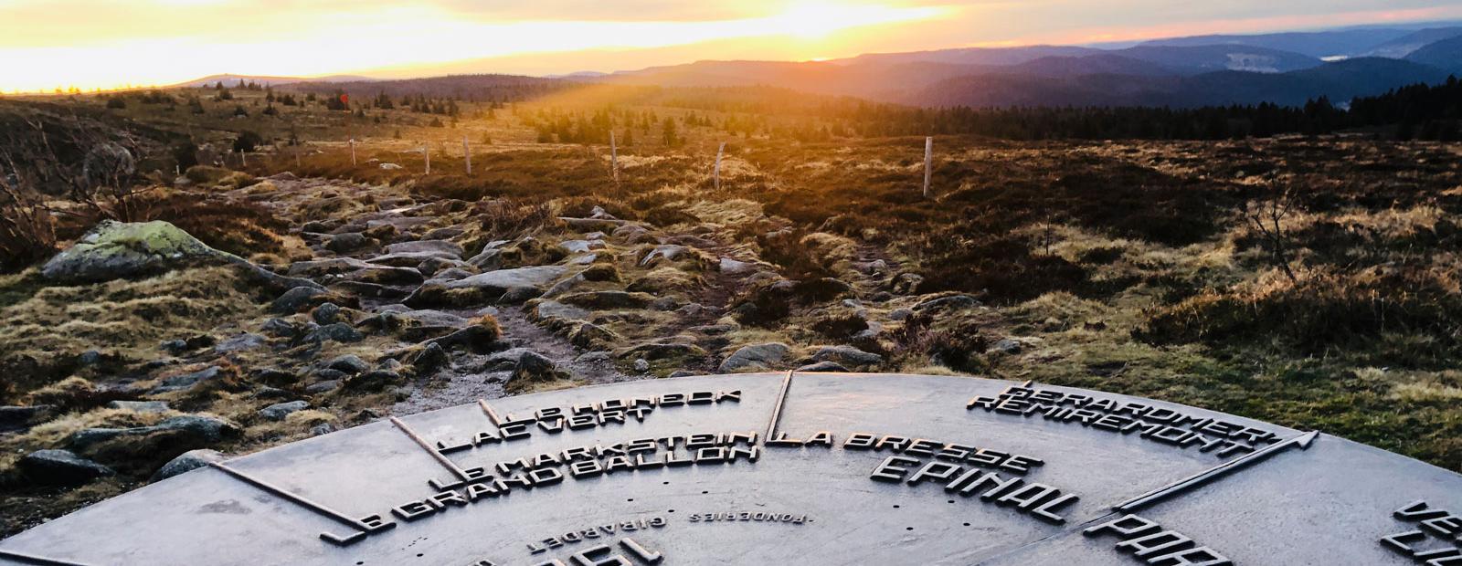
From the top of its 23 meters at 731m of altitude, the Galtz monument is the destination of this hike and it will not leave you indifferent. You will have a unique 360° panorama on the Alsace plain and the Vosges mountains.
Our favourites of the hike:
- the variety of the route: vineyard, forest, panorama...
- the crossing of the Ammerschwihr golf course
- the panoramic view from the top of the Galtz monument
Our expert advice
J'apprécie particulièrement faire cette rando à deux moments. Au printemps quand le vert des feuilles des vignes contraste celui des feuillus. En automne, à la fin des vendanges quand la vigne entre en dormance, les feuilles jaunissent ce qui offre une immense étendue dorée à couper le souffle !
Upcoming dates
- From 01/01/2024 to 31/12/2024
- From Monday to Sunday All day
Caracteristiques
- Level of difficulty
- Intermediate
- Length of the itinerary
- 9,4
- Difference in altitude (in m)
- 491
- Best weather conditions
- Snow
- Type of marking
- Club vosgien
Useful information
Localisation du point de départ
- Venue of the event
- Parking Porte Haute
- GPS coordinates
- 7.2776952089233248.1247054757728
- Address - location information of car park closest to departure point
- Parking de la Porte Haute