Back to the list

Hiking tour - Lapoutroie The Faudé Tower

1Rue de l'Abbé Simon
Locate
Place de l'église
68650Lapoutroie
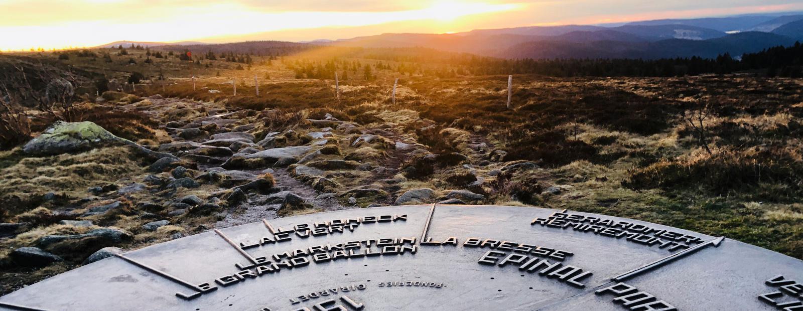
Walking excursion alternating pastures and forests. You take the direction of the Col du Bermont which separates the municipalities of Lapoutroie and Orbey. In your field of vision, a tower is offered to your eyes, the Faudé Tower. Arrived on site do not hesitate to climb the stairs to fully enjoy the 360° view. The return is by the Roche du Chat noir.
Upcoming dates
Caracteristiques
- Level of difficulty
- Intermediate
- Length of the itinerary
- 7
- Difference in altitude (in m)
- 350
- Type of marking
- Club vosgien
Useful information
Localisation du point de départ
- Venue of the event
- Place de l'église
- GPS coordinates
- 7.1682545999999548.1522414
