Back to the list
 Locate


Lapoutroie
CallSend an email
68650Lapoutroie
Photos


In 842 Lapoutroie, known as Sconerloch, was part of the kingdom of Lothar I. At that time, it was essentially a village of charcoal burners.
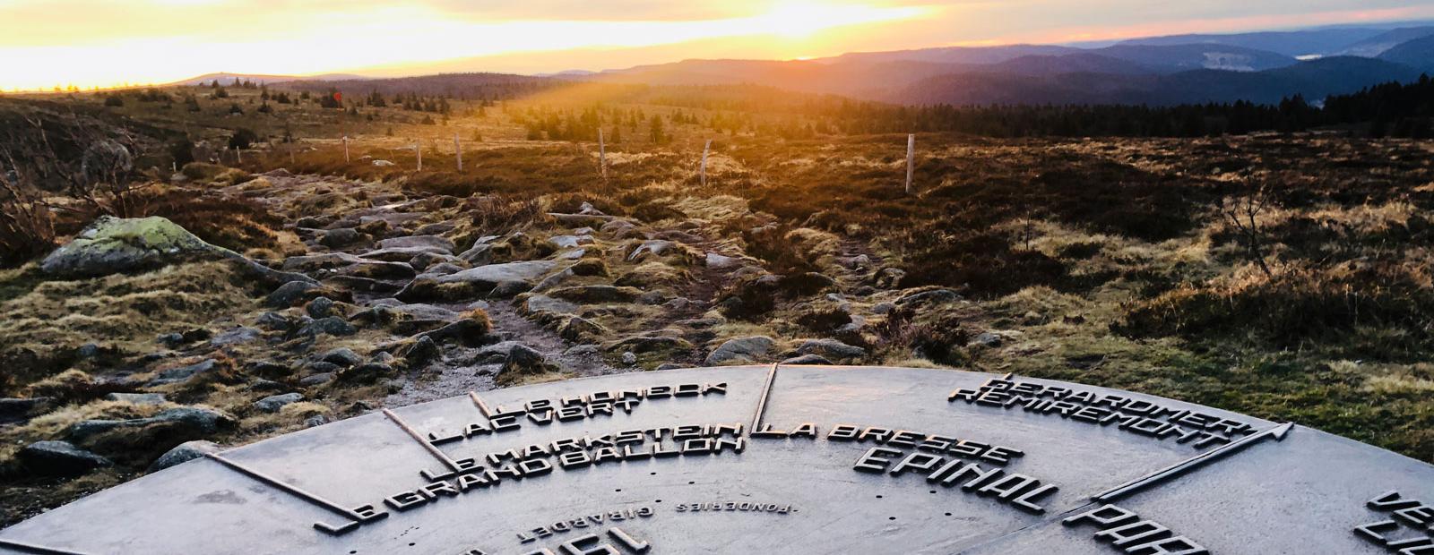
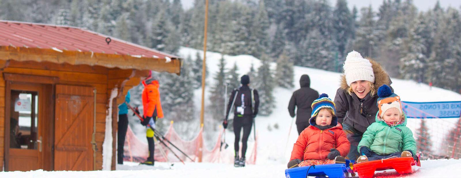
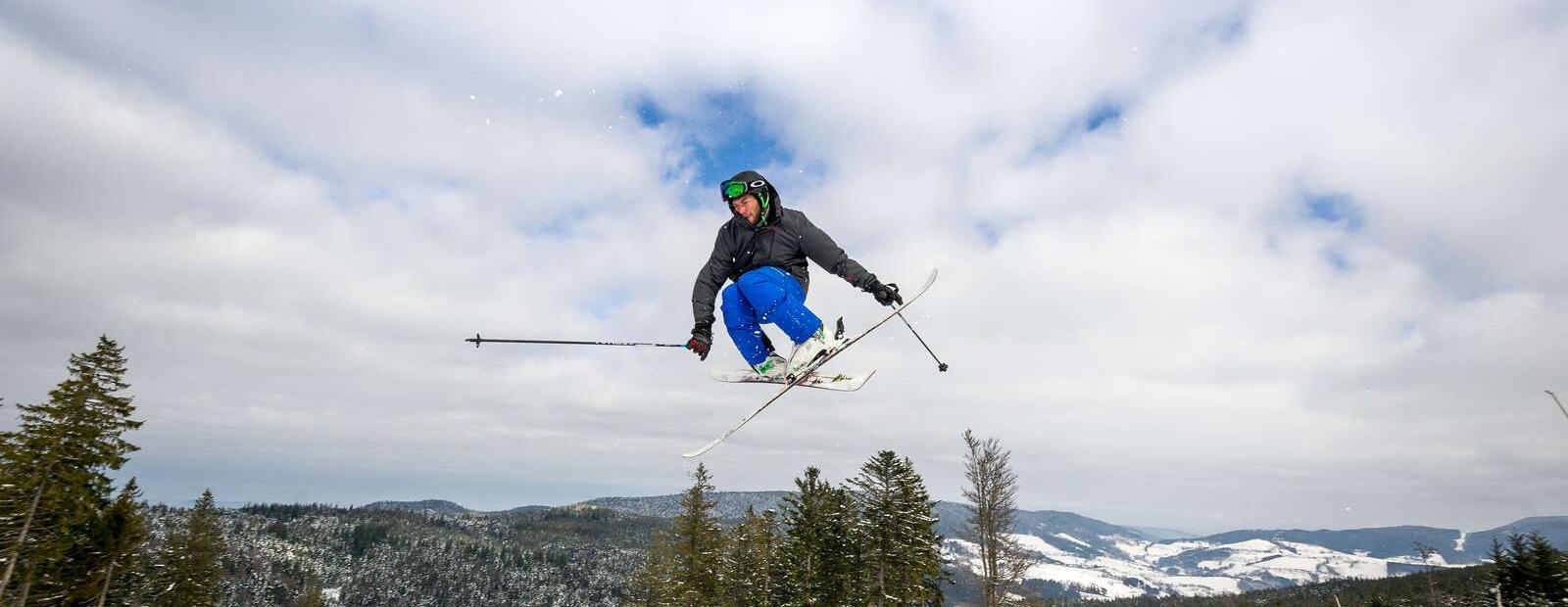
On the territory of Lapoutroie stands the peak known as "lo Faudé", which is believed to have been a place devoted to the mysteries of the Druidic cult. At the bottom of a splendid valley bordered by large pine forests, Lapoutroie is a green commune.
Famous battlefield of the 1914-1918 war, the village is today a place where life is good. You can also taste local products, munsters, beers, directly from the producers.