
Back to the list
 Locate


Hiking tour - "l'étang du devin" from Lapoutroie
église Saint-Odile
68650Lapoutroie
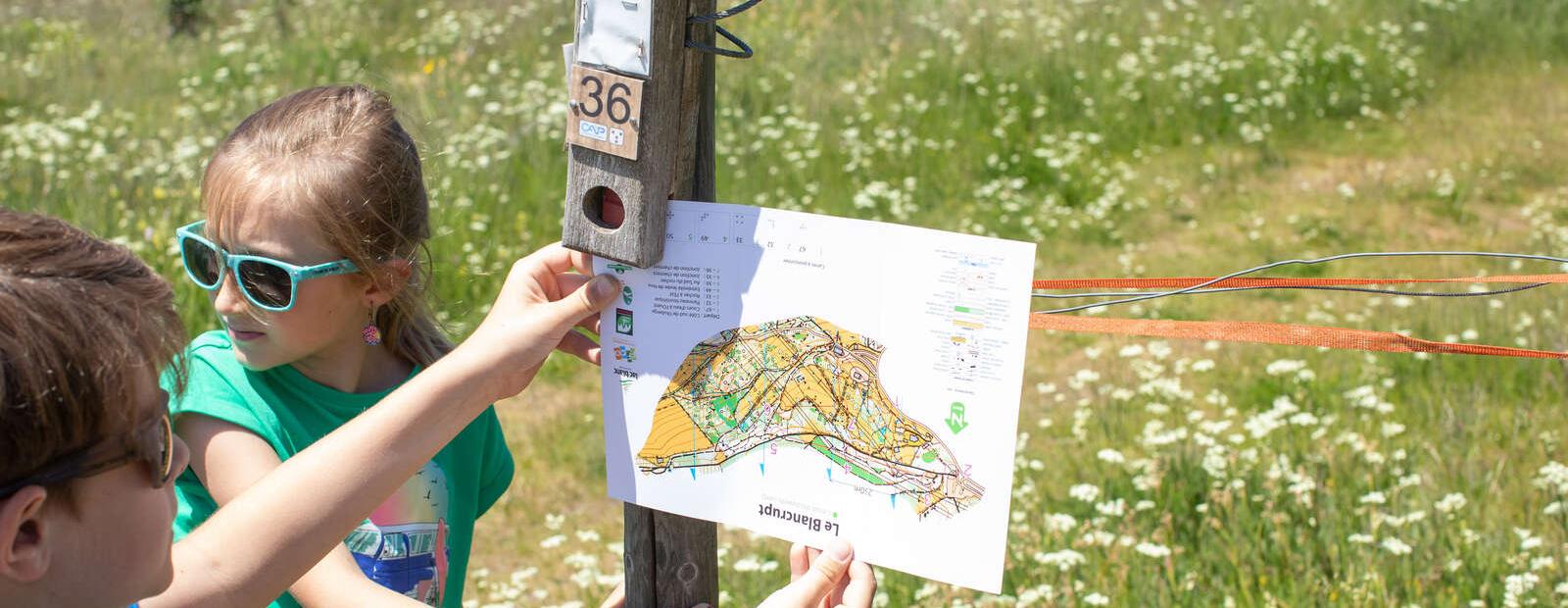
Photos


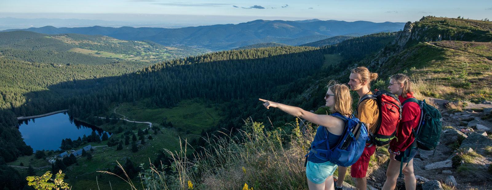
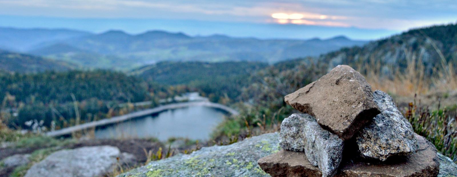
This hike offers a steady ascent to the pond of Devin, which is one of the most relaxing sites in the valley. According to legend, it is a magical place where anything can happen. Take advantage of this haven of serenity and change of scenery to recharge your batteries.
Our favourite walks:
- walking in the invigorating countryside
- the tranquility and enchanting setting of the Etang du Devin
- enjoy views of incredible panoramas
Upcoming dates
- From 15/04/2024 to 31/10/2024
- From Monday to Sunday All day
Caracteristiques
- Level of difficulty
- Intermediate
- Length of the itinerary
- 10,2
- Difference in altitude (in m)
- 552
- Type of hiking path
- dirt path
- Best weather conditions
- Snow
- Type of marking
- Club vosgien
Useful information
Localisation du point de départ
- Venue of the event
- Sainte-Odile chruch in Lapoutroie
- GPS coordinates
- 7.167734848.1523639
- Address - location information of car park closest to departure point
- Parking de l'église Saint-Odile